Geography class

Landforms every student should know.

Terra Terra Collections Geography class

A set for classrooms and homeschoolers: a shield volcano, a stratovolcano, a canyon, a caldera, a desert basin and the roof of the world, all measured from real elevation.

12 stops · read them in order, or jump to the one you want

  1. Grand Canyon, Arizona

    A mile deep and up to 18 miles across.

    Spin it in 3D Make it your size

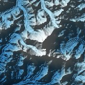
  2. Mount Everest

    The highest point on Earth, 8,849 m.

    Spin it in 3D Make it your size

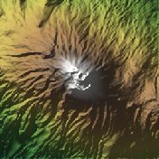
  3. Kilimanjaro, Tanzania

    Africa's highest mountain.

    Spin it in 3D Make it your size

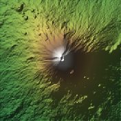
  4. Mount Fuji, Japan

    Japan's perfect volcanic cone.

    Spin it in 3D Make it your size

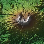
  5. Mount St. Helens, Washington

    The crater left by the 1980 eruption.

    Spin it in 3D Make it your size

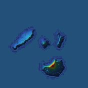
  6. Krakatoa, Indonesia

    The islands left by the 1883 eruption, with the new Anak Krakatau.

    Spin it in 3D Make it your size

  7. Mount Etna, Sicily

    Europe's most active volcano.

    Spin it in 3D Make it your size

  8. Mount Vesuvius, Italy

    The volcano that buried Pompeii.

    Spin it in 3D Make it your size

  9. Badwater, Death Valley

    The lowest point in North America (below sea level).

    Spin it in 3D Make it your size

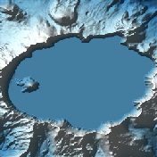
  10. Crater Lake, Oregon

    The deepest lake in the US fills a collapsed volcano.

    Spin it in 3D Make it your size

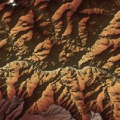
  11. Mauna Kea, Hawaii

    Measured from the seabed, the tallest mountain on Earth.
    Spin it in 3D Make it your size

  12. Kilauea, Hawaii

    One of the most active volcanoes on Earth.

    Spin it in 3D Make it your size

← All collections