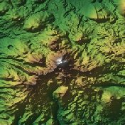
Mount Shasta, California
A snow-capped volcano that dominates northern California.
Terra Explorer Volcanoes and craters
Drag to rotate · scroll or pinch to zoom
Make this model
The Standard resolution model is free as STL, 3MF, Colored 3MF, OBJ and a 16-bit heightmap. High resolution samples the place about ten times more finely.
- Region
- California, USA
- Position
- 41.4092, -122.1949
- Area
- 20 × 20 km
- Real elevation
- 1,009 to 4,292 m (3,283 m of relief)
- Printed size
- 150 mm (5.9 in) wide, about 1:133,300
- Heights
- True to scale
- Elevation data
- USGS 3D Elevation Program, 1–10 m per point
- Suggested color
- Natural
- Group
- Volcanoes and craters
About Mount Shasta, California
Mount Shasta ( SHASS-tə; Shasta: Waka-nunee-Tuki-wuki; Karuk: Úytaahkoo) is a potentially active stratovolcano at the southern end of the Cascade Range in Siskiyou County, California. At an elevation of 14,179 ft (4,322 m), it is the second-highest peak in the Cascades and the fifth-highest in the state. Mount Shasta has an estimated volume of 85 cubic miles (350 cubic kilometers), which makes it the most voluminous stratovolcano in the Cascade Volcanic Arc. The mountain and surrounding area are part of the Shasta–Trinity National Forest. Shasta receives heavy winter snowfall, and hosts the Mount Shasta Ski Park. Seven glaciers ring the slopes.
From Wikipedia: Mount Shasta, text available under the Creative Commons Attribution-ShareAlike 4.0 license. The article’s history lists its authors.
Questions about Mount Shasta, California
Where is Mount Shasta?
Mount Shasta is in California, USA at 41.4092, -122.1949. The model covers a 20 by 20 kilometer square around that point.
How high is the terrain in the Mount Shasta model?
The land in this model runs from 1,009 to 4,292 m (3,283 m of relief). These are the measured heights, printed true to scale.
Can I 3D print Mount Shasta?
Yes. Download the free Standard resolution STL and print it on any FDM or resin printer. It is 150 mm wide and about 29.6 mm tall, on a solid 5 mm base, at a scale of about 1:133,300. It also works for CNC carving. Use Customize to change the width, base thickness or height exaggeration, make it round or add a name plate.
How accurate is the Mount Shasta model?
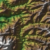
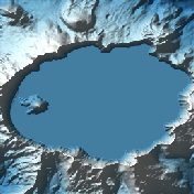
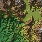
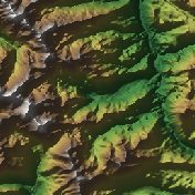
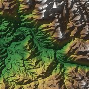
It is built from real elevation measurements, not an artist's guess: the USGS 3D Elevation Program, mostly airborne laser scans at 1 to 10 meters per point. The shaded picture on this page is made from the same data.
Is the Mount Shasta model free?
The Standard resolution model is free as STL, 3MF, Colored 3MF, OBJ and a 16-bit heightmap. High resolution samples the place about ten times more finely and is a paid upgrade.
What is a Mount Shasta terrain model good for?
People use it as a geology lesson you can hold, a classroom model or a desk piece.
About this terrain model
Embossify Terra builds Mount Shasta, California from real measured elevation, not an artist's guess. In the United States the heights come from the USGS 3D Elevation Program, mostly airborne laser scans that resolve every 1 to 10 meters.
The model covers a 20 by 20 kilometer square centered on 41.4092, -122.1949. It prints 150 mm (5.9 in) wide on a solid base, a scale of about 1:133,300. The heights are true to scale. The sea is flattened to zero, so land stands on a clean base.
New to terrain printing? Read how Terra works. The shaded picture on this page is made by Embossify from the same elevation data.